AI PPT Maker
Templates
PPT Bundles
Design Services
Business PPTs
Business Plan
Management
Strategy
Introduction PPT
Roadmap
Self Introduction
Timelines
Process
Marketing
Agenda
Technology
Medical
Startup Business Plan
Cyber Security
Dashboards
SWOT
Proposals
Education
Pitch Deck
Digital Marketing
KPIs
Project Management
Product Management
Artificial Intelligence
Target Market
Communication
Supply Chain
Google Slides
Research Services
 One Pagers
All Categories
Features of these PowerPoint presentation slides:
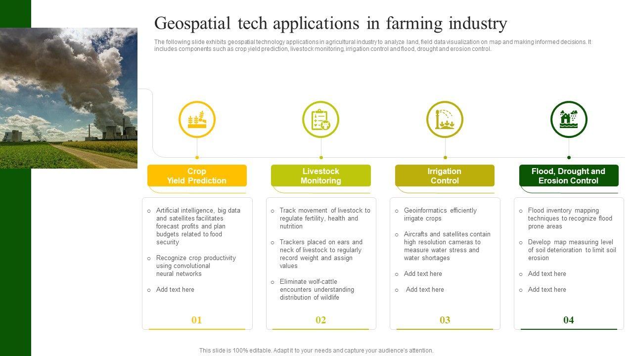
The following slide exhibits geospatial technology applications in agricultural industry to analyze land, field data visualization on map and making informed decisions. It includes components such as crop yield prediction, livestock monitoring, irrigation control and flood, drought and erosion control.Persuade your audience using this Geospatial Tech Applications In Farming Industry Guidelines PDF. This PPT design covers four stages, thus making it a great tool to use. It also caters to a variety of topics including Livestock Monitoring, Irrigation Control, Geoinformatics Efficiently. Download this PPT design now to present a convincing pitch that not only emphasizes the topic but also showcases your presentation skills.
People who downloaded this PowerPoint presentation also viewed the following :
Related Products
Ratings and Reviews
5
- ★52
- ★40
- ★30
- ★20
- ★10
Write a review
Most Relevant Reviews
by kerri fallon
February 27, 2023
The Designed Graphic are very professional and classic.by Chris
February 27, 2023
Very well designed and informative templates.
View per page:
10


