Continent maps PowerPoint Templates

Introducing our continent maps PowerPoint templates – the perfect way to showcase your business expansion across the globe. These spacious PPT layouts can be used by different industries and MNCs to present themselves in an alluring way. Utilize these professionally designed PowerPoint slides to highlight business opportunities in different corners of the planet. You can use these PPT themes to present market research, competitive analysis, and other business data-based insights. Take advantage of these brilliant continent charts PowerPoint designs to discuss various factors which can impact your business in that area. Incorporate these PPT templates from the gallery of 600+ peninsular designs to present the comparison of different geographical areas with each other. You can use these innovative PowerPoint sets and help the investors and stakeholders to find the most suitable market with ease. We have subtle grey colorless and colorful flags enclosed in region maps layouts. You can choose as per your liking. These are easy-to-edit PowerPoint shapes, so you can remove color, or add your company logo, or any image with panache.
60 120 180 down link icon

DISPLAYING: 2 of 602 Items

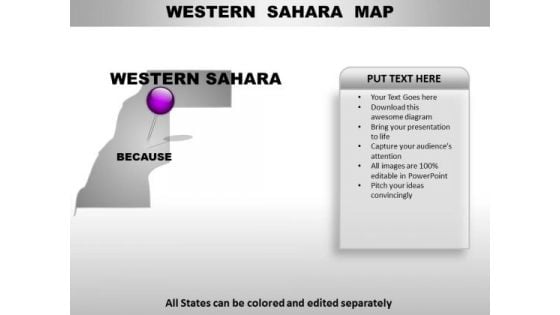
  1. Western Sahara Country PowerPoint Maps Slide 1 of 3

    Western Sahara Country PowerPoint Maps

    Western Sahara Country Powerpoint Maps-These high quality, editable powerpoint country maps have been carefully created by our professional team to display location and other geographic details in your PowerPoint presentation. Each map is vector based and is 100% editable in powerpoint. Each and every property of any region - color, size, shading etc can be modified to help you build an effective powerpoint presentation. Use these maps to show sales territories, business and new office locations, travel planning etc in your presentations. Any text can be entered at any point in the powerpoint map slide. Simply DOWNLOAD, TYPE and PRESENT!

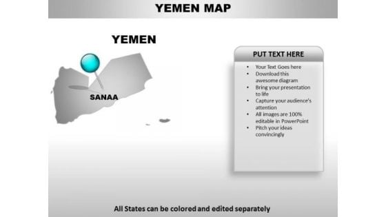
  2. Yemen Country PowerPoint Maps Slide 1 of 3

    Yemen Country PowerPoint Maps

    Yemen Country Powerpoint Maps-These high quality, editable powerpoint country maps have been carefully created by our professional team to display location and other geographic details in your PowerPoint presentation. Each map is vector based and is 100% editable in powerpoint. Each and every property of any region - color, size, shading etc can be modified to help you build an effective powerpoint presentation. Use these maps to show sales territories, business and new office locations, travel planning etc in your presentations. Any text can be entered at any point in the powerpoint map slide. Simply DOWNLOAD, TYPE and PRESENT!

60 120 180 down link icon

DISPLAYING: 2 of 602 Items

Ratings and Reviews

95% of 100

Most Relevant Reviews

  1. 100%

    by April

    Nice colors schemes and visually appealing slides.
  2. 100%

    by deepali

    Easy to edit slides with easy to understand instructions.
  3. 80%

    by chemny

    Attractive design and informative presentation.
  4. 100%

    by April

    Excellent work done on template design and graphics.
per page: