Territory Maps
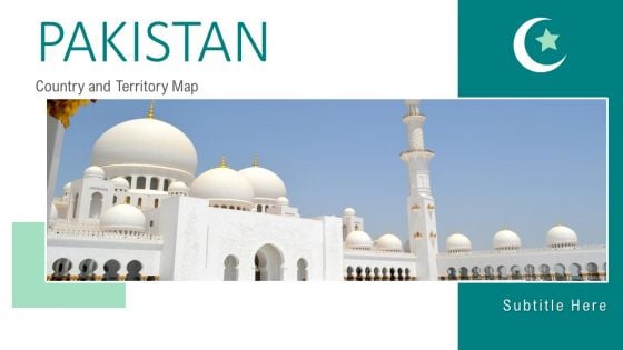
Pakistan Country And Territory Map PowerPoint Template
This is Pakistan Country And Territory Map PowerPoint Template that can be used to showcase the emerging parameters of your country. The design aesthetic and useable content makes it perfect for increasing audience engagement with all things economic in mind. It includes thirteen slides with details and also maps, charts and graphs which help bring attention towards the demographics. Therefore, this is a great deck to boost your countrys economic status. It is made using creative graphics and imagery that make it a must-have design in your arsenal.
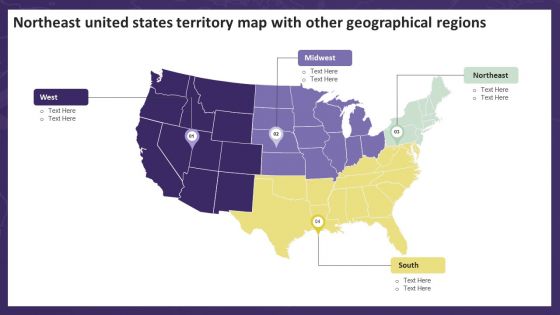
Northeast United States Territory Map With Other Geographical Regions Summary PDF
Presenting Northeast United States Territory Map With Other Geographical Regions Summary PDF to dispense important information. This template comprises four stages. It also presents valuable insights into the topics including Northeast United States, Territory Map, Geographical Regions. This is a completely customizable PowerPoint theme that can be put to use immediately. So, download it and address the topic impactfully.
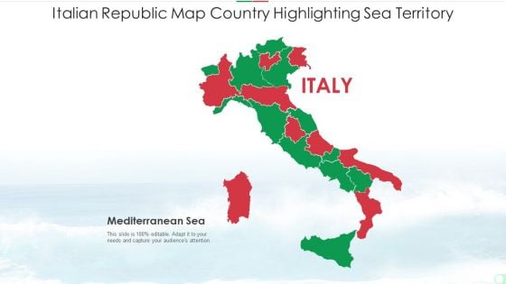
Italian Republic Map Country Highlighting Sea Territory Summary PDF
Presenting italian republic map country highlighting sea territory summary pdf to dispense important information. This template comprises one stages. It also presents valuable insights into the topics including italian republic map country highlighting sea territory. This is a completely customizable PowerPoint theme that can be put to use immediately. So, download it and address the topic impactfully.
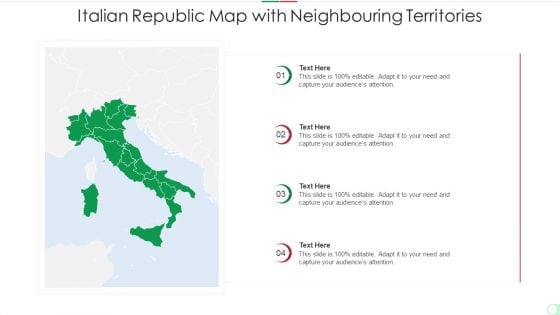
Italian Republic Map With Neighbouring Territories Information PDF
Presenting italian republic map with neighbouring territories information pdf to dispense important information. This template comprises four stages. It also presents valuable insights into the topics including italian republic map with neighbouring territories. This is a completely customizable PowerPoint theme that can be put to use immediately. So, download it and address the topic impactfully.
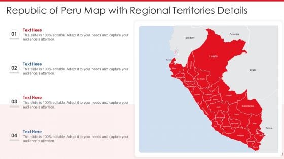
Republic Of Peru Map With Regional Territories Details Mockup PDF
Presenting republic of peru map with regional territories details mockup pdf to dispense important information. This template comprises four stages. It also presents valuable insights into the topics including republic of peru map with regional territories details. This is a completely customizable PowerPoint theme that can be put to use immediately. So, download it and address the topic impactfully.
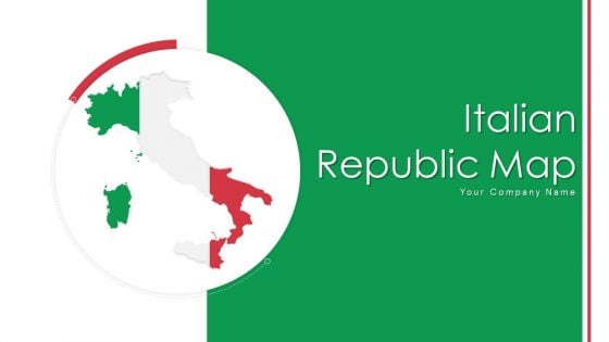
Italian Republic Map Highlighting Sea Territory Ppt PowerPoint Presentation Complete Deck With Slides
If designing a presentation takes a lot of your time and resources and you are looking for a better alternative, then this italian republic map highlighting sea territory ppt powerpoint presentation complete deck with slides is the right fit for you. This is a prefabricated set that can help you deliver a great presentation on the topic. All the twelve slides included in this sample template can be used to present a birds-eye view of the topic. These slides are also fully editable, giving you enough freedom to add specific details to make this layout more suited to your business setting. Apart from the content, all other elements like color, design, theme are also replaceable and editable. This helps in designing a variety of presentations with a single layout. Not only this, you can use this PPT design in formats like PDF, PNG, and JPG once downloaded. Therefore, without any further ado, download and utilize this sample presentation as per your liking.
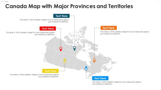
Canada Map With Major Provinces And Territories Formats PDF
Persuade your audience using this canada map with major provinces and territories formats pdf. This PPT design covers five stages, thus making it a great tool to use. It also caters to a variety of topics including canada map with major provinces and territories. Download this PPT design now to present a convincing pitch that not only emphasizes the topic but also showcases your presentation skills.

Map Of United States Territory With Highlighted Northeast Region Information PDF
Presenting Map Of United States Territory With Highlighted Northeast Region Information PDF to dispense important information. This template comprises one stages. It also presents valuable insights into the topics including Map United States Territory, Highlighted Northeast Region. This is a completely customizable PowerPoint theme that can be put to use immediately. So, download it and address the topic impactfully.
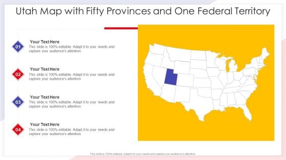
Utah Map With Fifty Provinces And One Federal Territory Pictures PDF
Persuade your audience using this utah map with fifty provinces and one federal territory pictures pdf. This PPT design covers four stages, thus making it a great tool to use. It also caters to a variety of topics including utah map with fifty provinces and one federal territory. Download this PPT design now to present a convincing pitch that not only emphasizes the topic but also showcases your presentation skills.
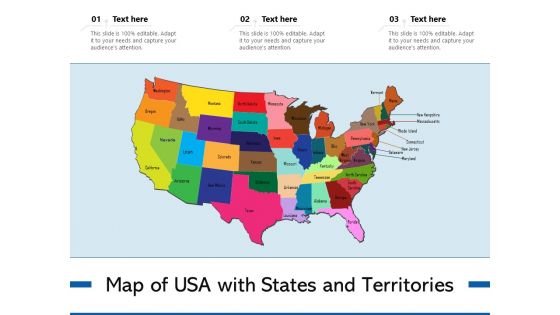
Map Of USA With States And Territories Ppt PowerPoint Presentation Layouts Visuals PDF
Presenting map of usa with states and territories ppt powerpoint presentation layouts visuals pdf to dispense important information. This template comprises three stages. It also presents valuable insights into the topics including map of usa with states and territories. This is a completely customizable PowerPoint theme that can be put to use immediately. So, download it and address the topic impactfully.
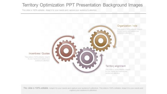
Territory Optimization Ppt Presentation Background Images
This is a territory optimization ppt presentation background images. This is a three stage process. The stages in this process are organization role, territory alignment, incentives quotas.

Example Of Territory Planning Ppt Powerpoint Slides
This is a example of territory planning ppt powerpoint slides. This is a eight stage process. The stages in this process are administrator logs in, create territory types, choose parent, add resources, create child territory, define matching attributes, choose territory type, review hierarchy.
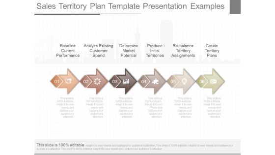
Sales Territory Plan Template Presentation Examples
This is a sales territory plan template presentation examples. This is a six stage process. The stages in this process are baseline current performance, analyze existing customer spend, determine market potential, produce initial territories, re balance territory assignments, create territory plans.
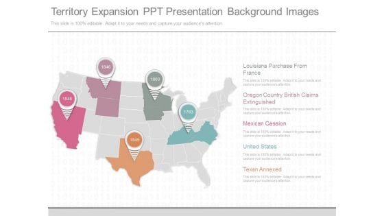
Territory Expansion Ppt Presentation Background Images
This is a territory expansion ppt presentation background images. This is a five stage process. The stages in this process are louisiana purchase from france, oregon country british claims extinguished, mexican cession, united states, texan annexed.

Sales Territory Strategy Plan Ppt Slide Examples
This is a sales territory strategy plan ppt slide examples. This is a six stage process. The stages in this process are sales knowledge, skills art, science metrics, sales strategy, market knowledge, company knowledge.

Strategies To Optimize Sales Territory Activities Efficient Sales Territory Management To Build SA SS V
This slide provides strategies to enhance sales territories performance, including strategies such as customize sales process, 360 degree territory account view, and CRM customization. Coming up with a presentation necessitates that the majority of the effort goes into the content and the message you intend to convey. The visuals of a PowerPoint presentation can only be effective if it supplements and supports the story that is being told. Keeping this in mind our experts created Strategies To Optimize Sales Territory Activities Efficient Sales Territory Management To Build SA SS V to reduce the time that goes into designing the presentation. This way, you can concentrate on the message while our designers take care of providing you with the right template for the situation. This slide provides strategies to enhance sales territories performance, including strategies such as customize sales process, 360 degree territory account view, and CRM customization.
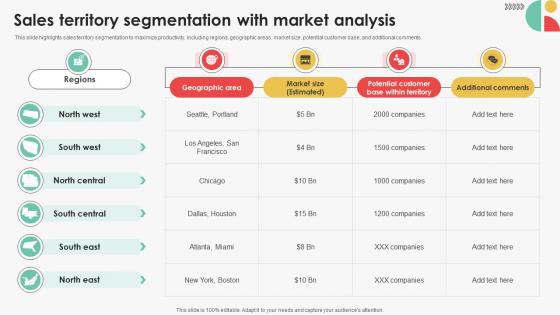
Sales Territory Segmentation With Market Efficient Sales Territory Management To Build SA SS V
This slide highlights sales territory segmentation to maximize productivity, including regions, geographic areas, market size, potential customer base, and additional comments. Take your projects to the next level with our ultimate collection of Sales Territory Segmentation With Market Efficient Sales Territory Management To Build SA SS V. Slidegeeks has designed a range of layouts that are perfect for representing task or activity duration, keeping track of all your deadlines at a glance. Tailor these designs to your exact needs and give them a truly corporate look with your own brand colors they will make your projects stand out from the rest This slide highlights sales territory segmentation to maximize productivity, including regions, geographic areas, market size, potential customer base, and additional comments.

China Territory Outline Ppt PowerPoint Presentation Complete Deck With Slides
If designing a presentation takes a lot of your time and resources and you are looking for a better alternative, then this China Territory Outline Ppt PowerPoint Presentation Complete Deck With Slides is the right fit for you. This is a prefabricated set that can help you deliver a great presentation on the topic. All the four slides included in this sample template can be used to present a birds-eye view of the topic. These slides are also fully editable, giving you enough freedom to add specific details to make this layout more suited to your business setting. Apart from the content, all other elements like color, design, theme are also replaceable and editable. This helps in designing a variety of presentations with a single layout. Not only this, you can use this PPT design in formats like PDF, PNG, and JPG once downloaded. Therefore, without any further ado, download and utilize this sample presentation as per your liking.
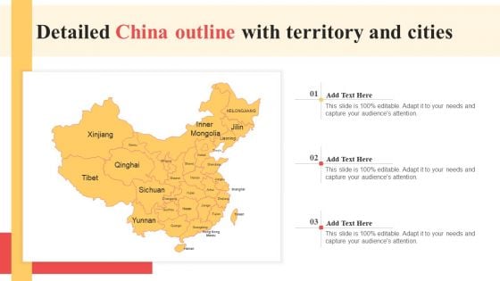
Detailed China Outline With Territory And Cities Clipart PDF
Presenting Detailed China Outline With Territory And Cities Clipart PDF to dispense important information. This template comprises three stages. It also presents valuable insights into the topics including Detailed China Outline, Territory Cities. This is a completely customizable PowerPoint theme that can be put to use immediately. So, download it and address the topic impactfully.
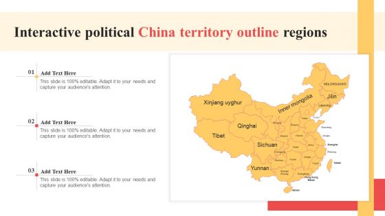
Interactive Political China Territory Outline Regions Summary PDF
Persuade your audience using this Interactive Political China Territory Outline Regions Summary PDF. This PPT design covers three stages, thus making it a great tool to use. It also caters to a variety of topics including Interactive Political, China Territory, Outline Regions. Download this PPT design now to present a convincing pitch that not only emphasizes the topic but also showcases your presentation skills.
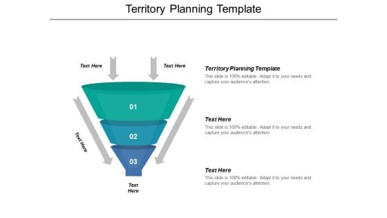
Territory Planning Template Ppt PowerPoint Presentation Outline Example Cpb
This is a territory planning template ppt powerpoint presentation outline example cpb. This is a three stage process. The stages in this process are territory planning template, business, management, marketing.
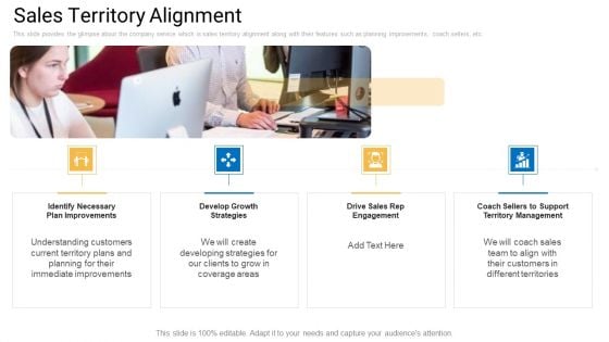
Sales Management Advisory Service Sales Territory Alignment Diagrams PDF
This slide provides the glimpse about the company service which is sales territory alignment along with their features such as planning improvements, coach sellers, etc. Presenting sales management advisory service sales territory alignment diagrams pdf to provide visual cues and insights. Share and navigate important information on four stages that need your due attention. This template can be used to pitch topics like develop growth strategies, territory management, plan improvements. In addtion, this PPT design contains high resolution images, graphics, etc, that are easily editable and available for immediate download.
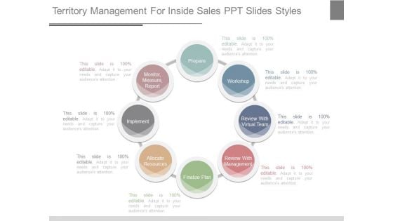
Territory Management For Inside Sales Ppt Slides Styles
This is a territory management for inside sales ppt slides styles. This is a eight stage process. The stages in this process are prepare, workshop, review with virtual team, review with management, finalize plan, allocate resources, implement, monitor, measure, report.
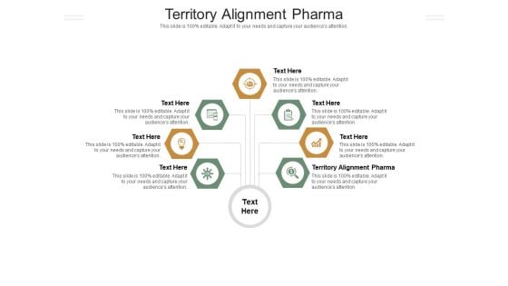
Territory Alignment Pharma Ppt PowerPoint Presentation Show Shapes Cpb Pdf
Presenting this set of slides with name territory alignment pharma ppt powerpoint presentation show shapes cpb pdf. This is an editable Powerpoint seven stages graphic that deals with topics like territory alignment pharma to help convey your message better graphically. This product is a premium product available for immediate download and is 100 percent editable in Powerpoint. Download this now and use it in your presentations to impress your audience.
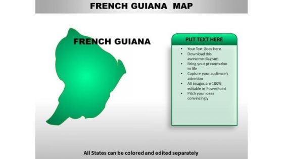
French Guiana PowerPoint Maps
French Guiana Country Powerpoint Maps-These high quality, editable powerpoint country maps have been carefully created by our professional team to display location and other geographic details in your PowerPoint presentation. Each map is vector based and is 100% editable in powerpoint. Each and every property of any region - color, size, shading etc can be modified to help you build an effective powerpoint presentation. Use these maps to show sales territories, business and new office locations, travel planning etc in your presentations. Any text can be entered at any point in the powerpoint map slide. Simply DOWNLOAD, TYPE and PRESENT! Carve out your territory with our French Guiana PowerPoint Maps. You will come out on top.
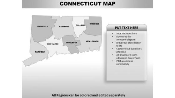
Connecticut PowerPoint Maps
Connecticut Powerpoint Maps-These high quality, editable powerpoint state maps have been carefully created by our professional team to display location and other geographic details in your PowerPoint presentation. Each map is vector based and is 100% editable in powerpoint. Each and every property of any region - color, size, shading etc can be modified to help you build an effective powerpoint presentation. Use these maps to show sales territories, business and new office locations, travel planning etc in your presentations. Any text can be entered at any point in the powerpoint map slide. Simply DOWNLOAD, TYPE and PRESENT! Compete with the world with our Connecticut PowerPoint Maps. You will come out on top.
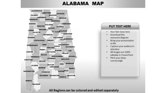
Alabama PowerPoint Maps
Alabama Powerpoint Maps-These high quality, editable powerpoint state maps have been carefully created by our professional team to display location and other geographic details in your PowerPoint presentation. Each map is vector based and is 100% editable in powerpoint. Each and every property of any region - color, size, shading etc can be modified to help you build an effective powerpoint presentation. Use these maps to show sales territories, business and new office locations, travel planning etc in your presentations. Any text can be entered at any point in the powerpoint map slide. Simply DOWNLOAD, TYPE and PRESENT! Embrace your dreams with our Alabama PowerPoint Maps. They will come within your grasp.
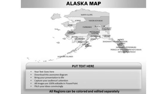
Alaska PowerPoint Maps
Alaska Powerpoint Maps-These high quality, editable powerpoint state maps have been carefully created by our professional team to display location and other geographic details in your PowerPoint presentation. Each map is vector based and is 100% editable in powerpoint. Each and every property of any region - color, size, shading etc can be modified to help you build an effective powerpoint presentation. Use these maps to show sales territories, business and new office locations, travel planning etc in your presentations. Any text can be entered at any point in the powerpoint map slide. Simply DOWNLOAD, TYPE and PRESENT! Our Alaska PowerPoint Maps come at a comfortable cost. They are definitely an economical choice.
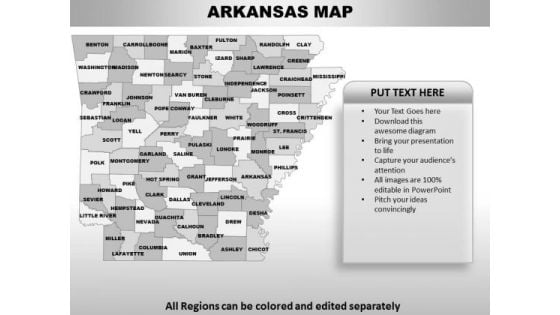
Arkansas PowerPoint Maps
Arkansas Powerpoint Maps-These high quality, editable powerpoint state maps have been carefully created by our professional team to display location and other geographic details in your PowerPoint presentation. Each map is vector based and is 100% editable in powerpoint. Each and every property of any region - color, size, shading etc can be modified to help you build an effective powerpoint presentation. Use these maps to show sales territories, business and new office locations, travel planning etc in your presentations. Any text can be entered at any point in the powerpoint map slide. Simply DOWNLOAD, TYPE and PRESENT! Our Arkansas PowerPoint Maps have a glossy look. Your thoughts will also acquire a sheen.
California PowerPoint Maps
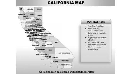
California Powerpoint Maps-These high quality, editable powerpoint state maps have been carefully created by our professional team to display location and other geographic details in your PowerPoint presentation. Each map is vector based and is 100% editable in powerpoint. Each and every property of any region - color, size, shading etc can be modified to help you build an effective powerpoint presentation. Use these maps to show sales territories, business and new office locations, travel planning etc in your presentations. Any text can be entered at any point in the powerpoint map slide. Simply DOWNLOAD, TYPE and PRESENT! Be accurate with your estimates. Our California PowerPoint Maps will help narrow it down.
Delaware PowerPoint Maps
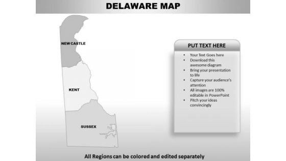
Delaware Powerpoint maps-These high quality, editable powerpoint state maps have been carefully created by our professional team to display location and other geographic details in your PowerPoint presentation. Each map is vector based and is 100% editable in powerpoint. Each and every property of any region - color, size, shading etc can be modified to help you build an effective powerpoint presentation. Use these maps to show sales territories, business and new office locations, travel planning etc in your presentations. Any text can be entered at any point in the powerpoint map slide. Simply DOWNLOAD, TYPE and PRESENT! Get your team to fall in line. Command their attention with our Delaware PowerPoint Maps.
Georgia PowerPoint Maps
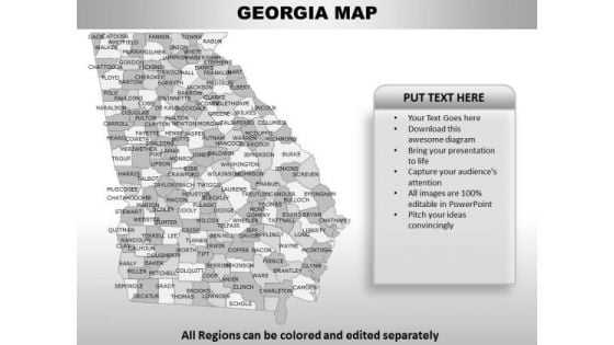
Georgia Powerpoint Maps-These high quality, editable powerpoint state maps have been carefully created by our professional team to display location and other geographic details in your PowerPoint presentation. Each map is vector based and is 100% editable in powerpoint. Each and every property of any region - color, size, shading etc can be modified to help you build an effective powerpoint presentation. Use these maps to show sales territories, business and new office locations, travel planning etc in your presentations. Any text can be entered at any point in the powerpoint map slide. Simply DOWNLOAD, TYPE and PRESENT! Your efforts will never fall short. Our Georgia PowerPoint Maps keep you above the bar.
Idaho PowerPoint Maps
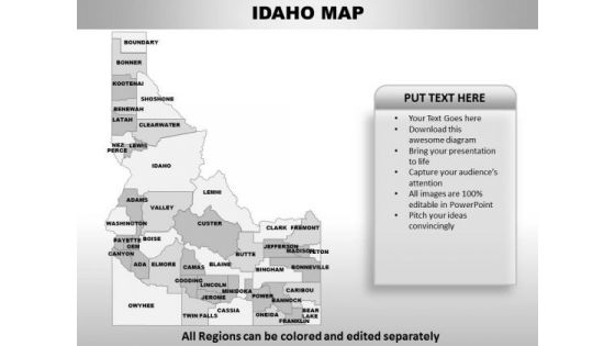
Idaho Powerpoint Maps-These high quality, editable powerpoint state maps have been carefully created by our professional team to display location and other geographic details in your PowerPoint presentation. Each map is vector based and is 100% editable in powerpoint. Each and every property of any region - color, size, shading etc can be modified to help you build an effective powerpoint presentation. Use these maps to show sales territories, business and new office locations, travel planning etc in your presentations. Any text can be entered at any point in the powerpoint map slide. Simply DOWNLOAD, TYPE and PRESENT! Cross all bridges easily with our Idaho PowerPoint Maps. You will come out on top.
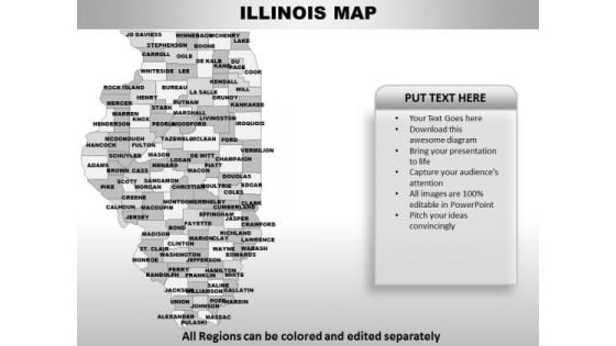
Illinois PowerPoint Maps
Illinois Powerpoint Maps-These high quality, editable powerpoint state maps have been carefully created by our professional team to display location and other geographic details in your PowerPoint presentation. Each map is vector based and is 100% editable in powerpoint. Each and every property of any region - color, size, shading etc can be modified to help you build an effective powerpoint presentation. Use these maps to show sales territories, business and new office locations, travel planning etc in your presentations. Any text can be entered at any point in the powerpoint map slide. Simply DOWNLOAD, TYPE and PRESENT! Create dreams with our Illinois PowerPoint Maps. Give your audience a dose of fascination.
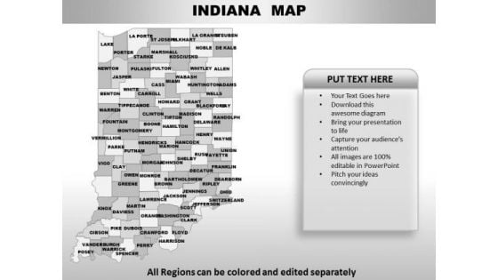
Indiana PowerPoint Maps
Indiana Powerpoint Maps-These high quality, editable powerpoint state maps have been carefully created by our professional team to display location and other geographic details in your PowerPoint presentation. Each map is vector based and is 100% editable in powerpoint. Each and every property of any region - color, size, shading etc can be modified to help you build an effective powerpoint presentation. Use these maps to show sales territories, business and new office locations, travel planning etc in your presentations. Any text can be entered at any point in the powerpoint map slide. Simply DOWNLOAD, TYPE and PRESENT! Reposition yourself with our Indiana PowerPoint Maps. Download without worries with our money back guaranteee.
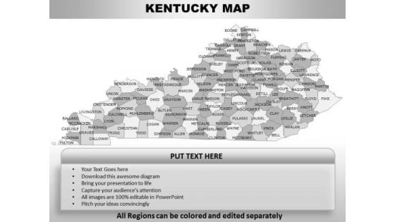
Kentucky PowerPoint Maps
Kentucky Powerpoint Maps-These high quality, editable powerpoint state maps have been carefully created by our professional team to display location and other geographic details in your PowerPoint presentation. Each map is vector based and is 100% editable in powerpoint. Each and every property of any region - color, size, shading etc can be modified to help you build an effective powerpoint presentation. Use these maps to show sales territories, business and new office locations, travel planning etc in your presentations. Any text can be entered at any point in the powerpoint map slide. Simply DOWNLOAD, TYPE and PRESENT! Exert influence with our Kentucky PowerPoint Maps. Get opinions going for you.
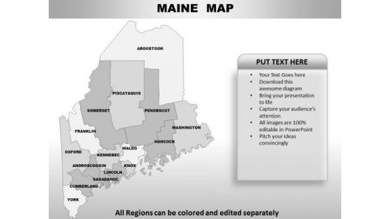
Maine PowerPoint Maps
Maine Powerpoint Maps-These high quality, editable powerpoint state maps have been carefully created by our professional team to display location and other geographic details in your PowerPoint presentation. Each map is vector based and is 100% editable in powerpoint. Each and every property of any region - color, size, shading etc can be modified to help you build an effective powerpoint presentation. Use these maps to show sales territories, business and new office locations, travel planning etc in your presentations. Any text can be entered at any point in the powerpoint map slide. Simply DOWNLOAD, TYPE and PRESENT! Sprint to success with our Maine PowerPoint Maps. You will come out on top.
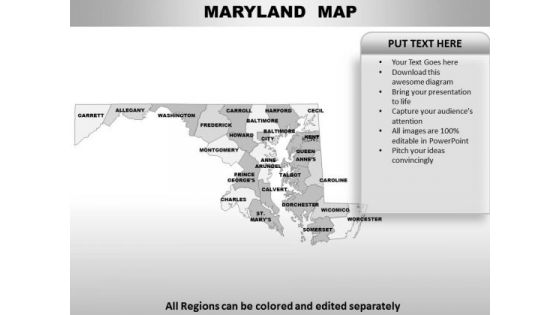
Maryland PowerPoint Maps
Maryland Powerpoint Maps-These high quality, editable powerpoint state maps have been carefully created by our professional team to display location and other geographic details in your PowerPoint presentation. Each map is vector based and is 100% editable in powerpoint. Each and every property of any region - color, size, shading etc can be modified to help you build an effective powerpoint presentation. Use these maps to show sales territories, business and new office locations, travel planning etc in your presentations. Any text can be entered at any point in the powerpoint map slide. Simply DOWNLOAD, TYPE and PRESENT! Emit boundless enthusiasm with our Maryland PowerPoint Maps. Activate the adrenaline of your audience.
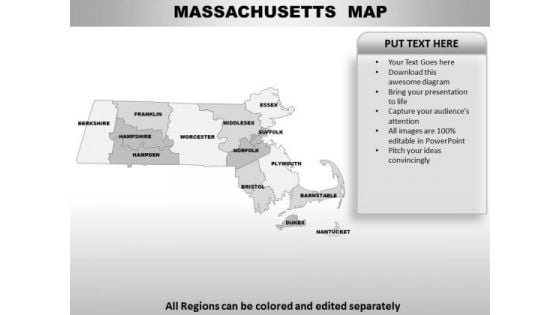
Massachusetts PowerPoint Maps
Massachusetts Powerpoint Maps-These high quality, editable powerpoint state maps have been carefully created by our professional team to display location and other geographic details in your PowerPoint presentation. Each map is vector based and is 100% editable in powerpoint. Each and every property of any region - color, size, shading etc can be modified to help you build an effective powerpoint presentation. Use these maps to show sales territories, business and new office locations, travel planning etc in your presentations. Any text can be entered at any point in the powerpoint map slide. Simply DOWNLOAD, TYPE and PRESENT! Enforce visions with our Massachusetts PowerPoint Maps. Download without worries with our money back guaranteee.
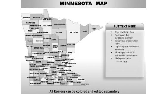
Minnesota PowerPoint Maps
Minnesota Powerpoint Maps-These high quality, editable powerpoint state maps have been carefully created by our professional team to display location and other geographic details in your PowerPoint presentation. Each map is vector based and is 100% editable in powerpoint. Each and every property of any region - color, size, shading etc can be modified to help you build an effective powerpoint presentation. Use these maps to show sales territories, business and new office locations, travel planning etc in your presentations. Any text can be entered at any point in the powerpoint map slide. Simply DOWNLOAD, TYPE and PRESENT! Don't leave your career to chance. Let our Minnesota PowerPoint Maps help you take charge.

Mississippi PowerPoint Maps
Mississippi Powerpoint Maps-These high quality, editable powerpoint state maps have been carefully created by our professional team to display location and other geographic details in your PowerPoint presentation. Each map is vector based and is 100% editable in powerpoint. Each and every property of any region - color, size, shading etc can be modified to help you build an effective powerpoint presentation. Use these maps to show sales territories, business and new office locations, travel planning etc in your presentations. Any text can be entered at any point in the powerpoint map slide. Simply DOWNLOAD, TYPE and PRESENT! Entice listeners both near and far. Our Mississippi PowerPoint Maps have an alluring effect.
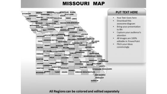
Missouri PowerPoint Maps
Missouri Powerpoint Maps-These high quality, editable powerpoint state maps have been carefully created by our professional team to display location and other geographic details in your PowerPoint presentation. Each map is vector based and is 100% editable in powerpoint. Each and every property of any region - color, size, shading etc can be modified to help you build an effective powerpoint presentation. Use these maps to show sales territories, business and new office locations, travel planning etc in your presentations. Any text can be entered at any point in the powerpoint map slide. Simply DOWNLOAD, TYPE and PRESENT! Exert some pressure with our Missouri PowerPoint Maps. Get the decision in your favour.
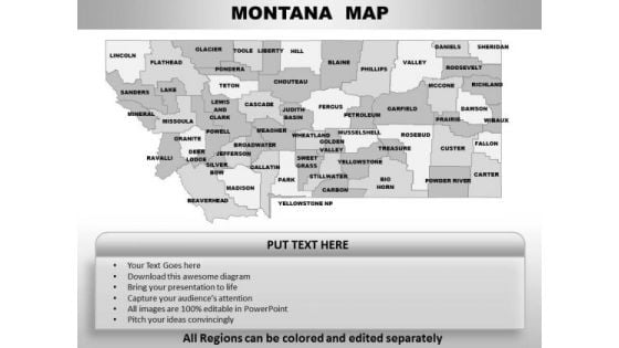
Montana PowerPoint Maps
Montana Powerpoint Maps-These high quality, editable powerpoint state maps have been carefully created by our professional team to display location and other geographic details in your PowerPoint presentation. Each map is vector based and is 100% editable in powerpoint. Each and every property of any region - color, size, shading etc can be modified to help you build an effective powerpoint presentation. Use these maps to show sales territories, business and new office locations, travel planning etc in your presentations. Any text can be entered at any point in the powerpoint map slide. Simply DOWNLOAD, TYPE and PRESENT! Analyse the figures with our Montana PowerPoint Maps. You will find answers emerging.
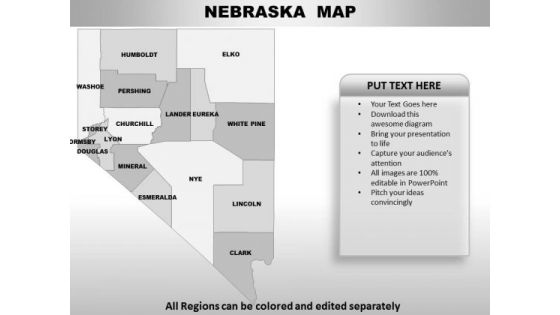
Nebraska PowerPoint Maps
Nebraska Powerpoint Maps-These high quality, editable powerpoint state maps have been carefully created by our professional team to display location and other geographic details in your PowerPoint presentation. Each map is vector based and is 100% editable in powerpoint. Each and every property of any region - color, size, shading etc can be modified to help you build an effective powerpoint presentation. Use these maps to show sales territories, business and new office locations, travel planning etc in your presentations. Any text can be entered at any point in the powerpoint map slide. Simply DOWNLOAD, TYPE and PRESENT! Maintain the continuity of your thoughts. Our Nebraska PowerPoint Maps will be the fillers.
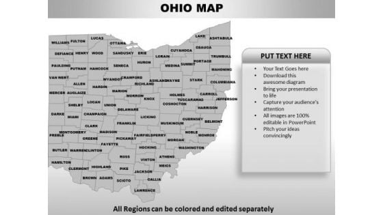
Ohio PowerPoint Maps
Ohio Powerpoint Maps-These high quality, editable powerpoint state maps have been carefully created by our professional team to display location and other geographic details in your PowerPoint presentation. Each map is vector based and is 100% editable in powerpoint. Each and every property of any region - color, size, shading etc can be modified to help you build an effective powerpoint presentation. Use these maps to show sales territories, business and new office locations, travel planning etc in your presentations. Any text can be entered at any point in the powerpoint map slide. Simply DOWNLOAD, TYPE and PRESENT! Get in their face with our Ohio PowerPoint Maps. Get your views decidedly across.
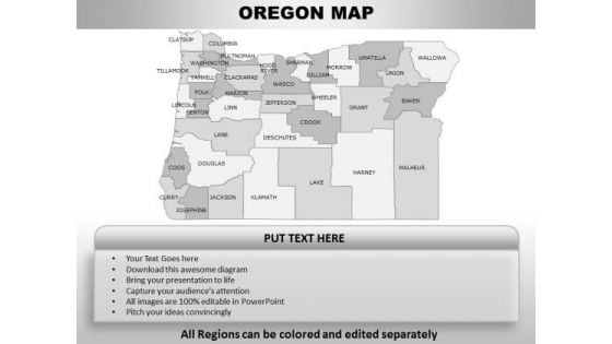
Oregon PowerPoint Maps
Oregon Powerpoint Maps-These high quality, editable powerpoint state maps have been carefully created by our professional team to display location and other geographic details in your PowerPoint presentation. Each map is vector based and is 100% editable in powerpoint. Each and every property of any region - color, size, shading etc can be modified to help you build an effective powerpoint presentation. Use these maps to show sales territories, business and new office locations, travel planning etc in your presentations. Any text can be entered at any point in the powerpoint map slide. Simply DOWNLOAD, TYPE and PRESENT! Be accredited by the connoisseurs. Our Oregon PowerPoint Maps certify their approval.
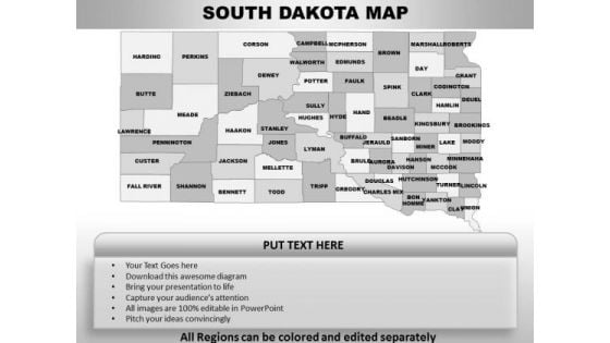
South Dakota PowerPoint Maps
South Dakota Powerpoint Maps-These high quality, editable powerpoint state maps have been carefully created by our professional team to display location and other geographic details in your PowerPoint presentation. Each map is vector based and is 100% editable in powerpoint. Each and every property of any region - color, size, shading etc can be modified to help you build an effective powerpoint presentation. Use these maps to show sales territories, business and new office locations, travel planning etc in your presentations. Any text can be entered at any point in the powerpoint map slide. Simply DOWNLOAD, TYPE and PRESENT! Show enterprise in your plans. Put them forth on our South Dakota PowerPoint Maps.
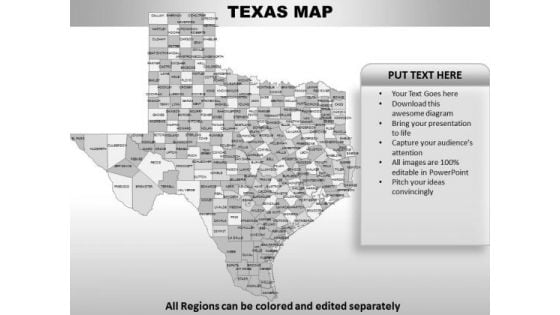
Texas PowerPoint Maps
Texas Powerpoint Maps-These high quality, editable powerpoint state maps have been carefully created by our professional team to display location and other geographic details in your PowerPoint presentation. Each map is vector based and is 100% editable in powerpoint. Each and every property of any region - color, size, shading etc can be modified to help you build an effective powerpoint presentation. Use these maps to show sales territories, business and new office locations, travel planning etc in your presentations. Any text can be entered at any point in the powerpoint map slide. Simply DOWNLOAD, TYPE and PRESENT! Ease out the complications with our Texas PowerPoint Maps. They help straighten things out.
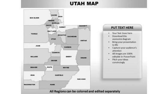
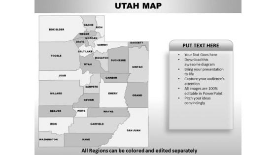
Utah PowerPoint Maps
Utah Powerpoint Maps-These high quality, editable powerpoint state maps have been carefully created by our professional team to display location and other geographic details in your PowerPoint presentation. Each map is vector based and is 100% editable in powerpoint. Each and every property of any region - color, size, shading etc can be modified to help you build an effective powerpoint presentation. Use these maps to show sales territories, business and new office locations, travel planning etc in your presentations. Any text can be entered at any point in the powerpoint map slide. Simply DOWNLOAD, TYPE and PRESENT! Our Utah PowerPoint Maps amplify your erudition. You will be earmarked for your brilliance.
Vermont PowerPoint Maps
Vermont Powerpoint Maps-These high quality, editable powerpoint state maps have been carefully created by our professional team to display location and other geographic details in your PowerPoint presentation. Each map is vector based and is 100% editable in powerpoint. Each and every property of any region - color, size, shading etc can be modified to help you build an effective powerpoint presentation. Use these maps to show sales territories, business and new office locations, travel planning etc in your presentations. Any text can be entered at any point in the powerpoint map slide. Simply DOWNLOAD, TYPE and PRESENT! Bounce back with our Vermont PowerPoint Maps. You will come out on top.
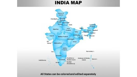
India Country PowerPoint Maps
india country powerpoint maps-These high quality, editable powerpoint country maps have been carefully created by our professional team to display location and other geographic details in your PowerPoint presentation. Each map is vector based and is 100% editable in powerpoint. Each and every property of any region - color, size, shading etc can be modified to help you build an effective powerpoint presentation. Use these maps to show sales territories, business and new office locations, travel planning etc in your presentations. Any text can be entered at any point in the powerpoint map slide. Simply DOWNLOAD, TYPE and PRESENT! Making plans with our India Country PowerPoint Maps entails success. They ensure automatic returns.
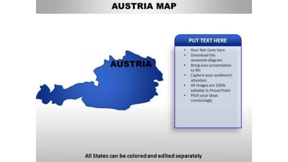
Austria PowerPoint Maps
Austria Country Powerpoint Maps-These high quality, editable powerpoint country maps have been carefully created by our professional team to display location and other geographic details in your PowerPoint presentation. Each map is vector based and is 100% editable in powerpoint. Each and every property of any region - color, size, shading etc can be modified to help you build an effective powerpoint presentation. Use these maps to show sales territories, business and new office locations, travel planning etc in your presentations. Any text can be entered at any point in the powerpoint map slide. Simply DOWNLOAD, TYPE and PRESENT! Do the right thing with our Austria PowerPoint Maps. They promote an ethical approach.
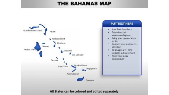
Bahamas PowerPoint Maps
Bahamas Country Powerpoint Maps-These high quality, editable powerpoint country maps have been carefully created by our professional team to display location and other geographic details in your PowerPoint presentation. Each map is vector based and is 100% editable in powerpoint. Each and every property of any region - color, size, shading etc can be modified to help you build an effective powerpoint presentation. Use these maps to show sales territories, business and new office locations, travel planning etc in your presentations. Any text can be entered at any point in the powerpoint map slide. Simply DOWNLOAD, TYPE and PRESENT! Chop and change with our Bahamas PowerPoint Maps. Make alterations with alacrity.
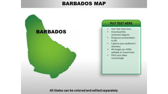
Barbados PowerPoint Maps
Barbados Country Powerpoint Maps-These high quality, editable powerpoint country maps have been carefully created by our professional team to display location and other geographic details in your PowerPoint presentation. Each map is vector based and is 100% editable in powerpoint. Each and every property of any region - color, size, shading etc can be modified to help you build an effective powerpoint presentation. Use these maps to show sales territories, business and new office locations, travel planning etc in your presentations. Any text can be entered at any point in the powerpoint map slide. Simply DOWNLOAD, TYPE and PRESENT! Entertain your audience with our Barbados PowerPoint Maps. You will come out on top.
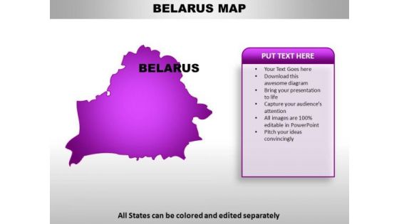
Belarus PowerPoint Maps
Belarus Country Powerpoint Maps-These high quality, editable powerpoint country maps have been carefully created by our professional team to display location and other geographic details in your PowerPoint presentation. Each map is vector based and is 100% editable in powerpoint. Each and every property of any region - color, size, shading etc can be modified to help you build an effective powerpoint presentation. Use these maps to show sales territories, business and new office locations, travel planning etc in your presentations. Any text can be entered at any point in the powerpoint map slide. Simply DOWNLOAD, TYPE and PRESENT! Factor it all in with our Belarus PowerPoint Maps. They account for every element.

Bhutan PowerPoint Maps
Bhutan Country Powerpoint Maps-These high quality, editable powerpoint country maps have been carefully created by our professional team to display location and other geographic details in your PowerPoint presentation. Each map is vector based and is 100% editable in powerpoint. Each and every property of any region - color, size, shading etc can be modified to help you build an effective powerpoint presentation. Use these maps to show sales territories, business and new office locations, travel planning etc in your presentations. Any text can be entered at any point in the powerpoint map slide. Simply DOWNLOAD, TYPE and PRESENT! Entice them with our Bhutan PowerPoint Maps. Lure them with your thoughts.

Bosnia PowerPoint Maps
Bosnia Country Powerpoint Maps-These high quality, editable powerpoint country maps have been carefully created by our professional team to display location and other geographic details in your PowerPoint presentation. Each map is vector based and is 100% editable in powerpoint. Each and every property of any region - color, size, shading etc can be modified to help you build an effective powerpoint presentation. Use these maps to show sales territories, business and new office locations, travel planning etc in your presentations. Any text can be entered at any point in the powerpoint map slide. Simply DOWNLOAD, TYPE and PRESENT! Lead the fight with our Bosnia PowerPoint Maps. You will come out on top.
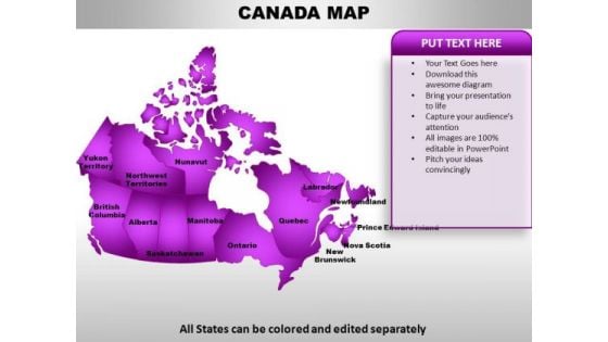
Canada PowerPoint Maps
Canada Country Powerpoint Maps-These high quality, editable powerpoint country maps have been carefully created by our professional team to display location and other geographic details in your PowerPoint presentation. Each map is vector based and is 100% editable in powerpoint. Each and every property of any region - color, size, shading etc can be modified to help you build an effective powerpoint presentation. Use these maps to show sales territories, business and new office locations, travel planning etc in your presentations. Any text can be entered at any point in the powerpoint map slide. Simply DOWNLOAD, TYPE and PRESENT! Lean is in, fat is out. Our Canada PowerPoint Maps achieve the desired look.
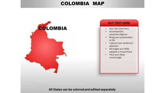
Colomiba PowerPoint Maps
Colomiba Country Powerpoint Maps-These high quality, editable powerpoint country maps have been carefully created by our professional team to display location and other geographic details in your PowerPoint presentation. Each map is vector based and is 100% editable in powerpoint. Each and every property of any region - color, size, shading etc can be modified to help you build an effective powerpoint presentation. Use these maps to show sales territories, business and new office locations, travel planning etc in your presentations. Any text can be entered at any point in the powerpoint map slide. Simply DOWNLOAD, TYPE and PRESENT! Your team will get faithfully behind you. Assume control with our Colomiba PowerPoint Maps.
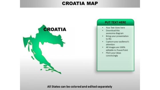
Croatia PowerPoint Maps
Croatia Country Powerpoint Maps-These high quality, editable powerpoint country maps have been carefully created by our professional team to display location and other geographic details in your PowerPoint presentation. Each map is vector based and is 100% editable in powerpoint. Each and every property of any region - color, size, shading etc can be modified to help you build an effective powerpoint presentation. Use these maps to show sales territories, business and new office locations, travel planning etc in your presentations. Any text can be entered at any point in the powerpoint map slide. Simply DOWNLOAD, TYPE and PRESENT! Our Croatia PowerPoint Maps encourage a creative environment. Allow diverse ideas to gain acceptance.


 Continue with Email

 Home
Home


